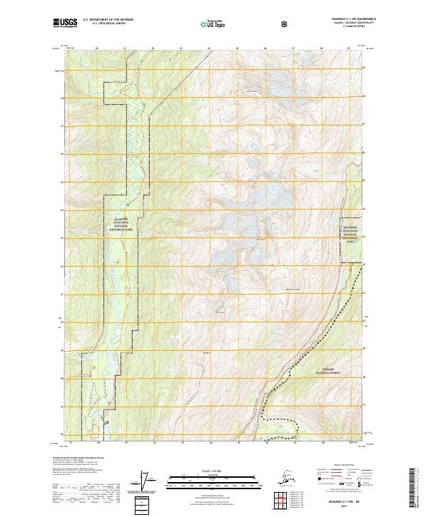
2021 Map of Skagway C-1 SW
USGS Topo · Published 2021About this map
The historic Chilkoot Trl winds through the heart of the Klondike Gold Rush National Historical Park, tracing the iconic route taken by stampeders heading north. This 2021 survey illustrates the rugged corridor between the Taiya River and the Skagway River, highlighting the preserved landscape of the Dyea Historic Townsite Road and the Slide Cemetery Access Road.
Find a feature on this map
29 named features on this map. Tap any name to fly to it.
Don’t see what you’re looking for? This feature index may not catch every label — zoom into the map to look around manually.
Map Details
Editions of this 2021 Skagway C-1 SW Map
This is the sole edition of this map. No revisions or reprints were ever made.
Other maps of this area

1948 · Skagway C-2
USGS Topo · 1:63,360

1948 · Skagway C-1
USGS Topo · 1:63,360

1949 · Skagway B-1
USGS Topo · 1:63,360

1951 · Skagway C-1
USGS Topo · 1:63,360

1951 · Skagway B-1
USGS Topo · 1:63,360

1951 · Skagway C-2
USGS Topo · 1:63,360

1952 · Skagway
USGS Topo · 1:250,000

1954 · Skagway B-2
USGS Topo · 1:63,360

1961 · Skagway
USGS Topo · 1:250,000
1991 · Skagway C-1 SW
USGS Topo · 1:25,000