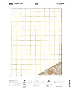
2017 Map of Skagway D-2 SW
USGS Topo · Published 2017About this map
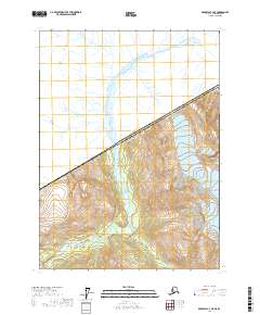
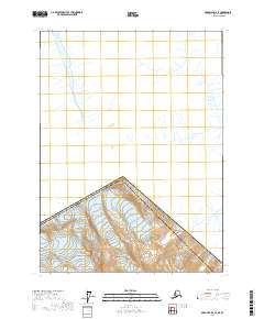
The international boundary between the Canada and the United States of America cuts across the southeastern corner of this remote Alaskan terrain. Located within the Skagway Municipality, the landscape is defined by its extreme northern topography, where the only human-imposed markers are the survey lines of T24s R57e and the political border of Alaska. The source material reveals a complex network of unnamed drainage systems and glacial meltwater channels flowing through the high-latitude wilderness. This 2017 study provides an precise look at the hydrography and elevation of the frontier before it crosses into Canadian territory, offering a stark representation of the undeveloped coastline hinterlands.
Find a feature on this map
3 named features on this map. Tap any name to fly to it.
Don’t see what you’re looking for? This feature index may not catch every label — zoom into the map to look around manually.
Map Details
Editions of this 2017 Skagway D-2 SW Map
This is the sole edition of this map. No revisions or reprints were ever made.
Other maps of this area

1948 · Skagway C-3
USGS Topo · 1:63,360

1948 · Skagway C-2
USGS Topo · 1:63,360
1949 · Skagway D-2
USGS Topo · 1:63,360

1951 · Skagway C-2
USGS Topo · 1:63,360

1952 · Skagway
USGS Topo · 1:250,000
1954 · Skagway C-3
USGS Topo · 1:63,360

1961 · Skagway
USGS Topo · 1:250,000
2017 · Skagway C-2 NW
USGS Topo · 1:25,000
2017 · Skagway C-3 NE
USGS Topo · 1:25,000
2017 · Skagway D-2 SE
USGS Topo · 1:25,000