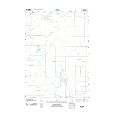
2011 Map of Skeels
USGS Topo · Published 2011About this map
Skeels and the surrounding Gladwin County landscape are defined by a complex network of waterways and specialized land use in this 2011 survey. The Middle Branch Cedar River and North Branch Cedar River converge in a region dotted with numerous small glacial lakes, including Pratt Lake and the unusually named Greasy Jim Lake. The presence of the Skeels Oil Field northwest of the main settlement indicates the area's industrial history, while local heritage is preserved at Skeel Cemetery and Garrity Cemetery. Smaller settlements such as Podunk, Oberlin, and Meredith anchor the rural road grid, illustrating the dispersed residential pattern common to this part of Michigan. The terrain transition is visible through the drainage patterns of Smith Creek and Bendel Drain, which support the larger river systems flowing toward Wiggins Lake.
Find a feature on this map
76 named features on this map. Tap any name to fly to it.
Don’t see what you’re looking for? This feature index may not catch every label — zoom into the map to look around manually.
Map Details
Editions of this 2011 Skeels Map
This is the sole edition of this map. No revisions or reprints were ever made.
Other maps of this area

1954 · Traverse City
USGS Topo · 1:250,000

1954 · Midland
USGS Topo · 1:250,000

1958 · Traverse City
USGS Topo · 1:250,000

1958 · Midland
USGS Topo · 1:250,000

1959 · Midland
USGS Topo · 1:250,000

1966 · Midland
USGS Topo · 1:250,000

1969 · Meredith NW
USGS Topo · 1:24,000

1969 · Meredith
USGS Topo · 1:24,000

1969 · Butman
USGS Topo · 1:24,000

1969 · Wagarville
USGS Topo · 1:24,000