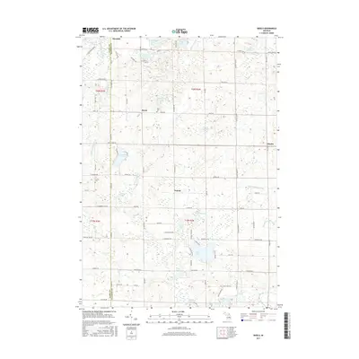
2017 Map of Skeels
USGS Topo · Published 2017About this map
Skeels and the tiny outpost of Podunk sit at the heart of this landscape where Gladwin and Clare counties meet. The terrain is defined by a dense network of glacial lakes and river branches, notably the N Br Cedar River and the Middle Br Cedar River. While much of the area is characterized by these wetlands and drainage patterns like Bennington Drain, local history is anchored by sites such as Skeel Cem and the Garrity Cem near Stockwell Rd. The map reveals a transition from the larger recreational waters of Pratt Lake and Wiggins Lake in the south to the more dispersed, smaller water bodies like Schoolhouse Lake and Lindy Lake to the north. This distribution suggests a rural community deeply tied to its hydrology and the early logging and farming routes that became today's local road network.
Find a feature on this map
89 named features on this map. Tap any name to fly to it.
Don’t see what you’re looking for? This feature index may not catch every label — zoom into the map to look around manually.
Map Details
Editions of this 2017 Skeels Map
This is the sole edition of this map. No revisions or reprints were ever made.
Other maps of this area

1954 · Traverse City
USGS Topo · 1:250,000

1954 · Midland
USGS Topo · 1:250,000

1958 · Traverse City
USGS Topo · 1:250,000

1958 · Midland
USGS Topo · 1:250,000

1959 · Midland
USGS Topo · 1:250,000

1966 · Midland
USGS Topo · 1:250,000

1969 · Meredith NW
USGS Topo · 1:24,000

1969 · Meredith
USGS Topo · 1:24,000

1969 · Butman
USGS Topo · 1:24,000

1969 · Wagarville
USGS Topo · 1:24,000