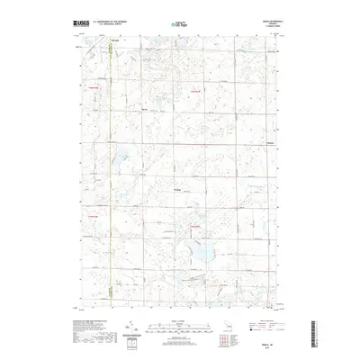
2019 Map of Skeels
USGS Topo · Published 2019About this map
The Clare Co Gladwin Co boundary bisects this portion of Central Michigan, where the northern headwaters of the Cedar River drainage system shape the landscape. Small, dispersed settlements like Skeels, Meredith, and Podunk serve as local anchors amidst a dense network of glacial lakes and wetlands. The prevalence of water is a defining characteristic, from the northern Island Lake and Blue Lake to the southern reaches of Pratt Lake and Wiggins Lake. Human activity is marked by small rural burial grounds such as Skeel Cem and Garrity Cem, as well as the Gladwin Co Recreation Area near the banks of the Cedar River. The map reveals a transition from these wooded water bodies to the agricultural and recreational lands that define the county line area today, including the curiously named Greasy Jim Lake and Schoolhouse Lake.
Find a feature on this map
91 named features on this map. Tap any name to fly to it.
Don’t see what you’re looking for? This feature index may not catch every label — zoom into the map to look around manually.
Map Details
Editions of this 2019 Skeels Map
This is the sole edition of this map. No revisions or reprints were ever made.
Other maps of this area

1954 · Traverse City
USGS Topo · 1:250,000

1954 · Midland
USGS Topo · 1:250,000

1958 · Traverse City
USGS Topo · 1:250,000

1958 · Midland
USGS Topo · 1:250,000

1959 · Midland
USGS Topo · 1:250,000

1966 · Midland
USGS Topo · 1:250,000

1969 · Meredith NW
USGS Topo · 1:24,000

1969 · Meredith
USGS Topo · 1:24,000

1969 · Butman
USGS Topo · 1:24,000

1969 · Wagarville
USGS Topo · 1:24,000