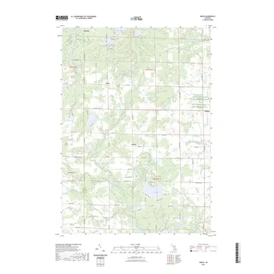
2023 Map of Skeels
USGS Topo · Published 2023About this map
The Middle Branch Cedar River and its various tributaries define the landscape of this Gladwin County interior, where the network of small lakes and creeks creates a complex drainage system across the glacial terrain. Sparse settlements like Podunk and Oberlin anchor the road grid, while the community of Meredith sits at the northern boundary. Genealogists will find notable burial sites such as Skeel Cem and Garrity Cem plotted near the rural intersections. The map highlights a significant transition in land use, showing the Farm Service Agency Interest of Michigan tracts alongside recreationally focused waters like Pratt Lake and Lake Contos. Distinctive local names like Greasy Jim Lake and Haymarsh Lake reflect the historic character of the wetland and forest interface typical of this part of Michigan.
Find a feature on this map
90 named features on this map. Tap any name to fly to it.
Don’t see what you’re looking for? This feature index may not catch every label — zoom into the map to look around manually.
Map Details
Editions of this 2023 Skeels Map
This is the sole edition of this map. No revisions or reprints were ever made.
Other maps of this area

1954 · Traverse City
USGS Topo · 1:250,000

1954 · Midland
USGS Topo · 1:250,000

1958 · Traverse City
USGS Topo · 1:250,000

1958 · Midland
USGS Topo · 1:250,000

1959 · Midland
USGS Topo · 1:250,000

1966 · Midland
USGS Topo · 1:250,000

1969 · Meredith NW
USGS Topo · 1:24,000

1969 · Meredith
USGS Topo · 1:24,000

1969 · Butman
USGS Topo · 1:24,000

1969 · Wagarville
USGS Topo · 1:24,000