
1969 Map of Skeen Lake
USGS Topo · Published 1971About this map
Skeen Lake and the larger Guthrie Lake define this portion of the Texas High Plains, where the terrain is dotted with Numerous alkaline depressions and intermittent water bodies. The landscape in 1969 is structured by a strict section-line grid, punctuated by industrial activity such as a Drill Hole and multiple Gravel Pits. The Atchison Topeka and Santa Fe railroad cuts diagonally across the southeastern corner of the quadrangle, serving as a primary transit corridor alongside State Route 87. This survey by the Texas Water Development Board and the USGS illustrates a sparsely populated agricultural and extractive landscape, where numerous Wells are recorded across the plains to support local operations.
Find a feature on this map
8 named features on this map. Tap any name to fly to it.
Don’t see what you’re looking for? This feature index may not catch every label — zoom into the map to look around manually.
Map Details
Editions of this 1969 Skeen Lake Map
This is the sole edition of this map. No revisions or reprints were ever made.
Other maps of this area

1954 · Lubbock
USGS Topo · 1:250,000

1954 · Big Spring
USGS Topo · 1:250,000

1958 · Big Spring
USGS Topo · 1:250,000

1969 · Gooch Lake
USGS Topo · 1:24,000

1969 · O'Donnell
USGS Topo · 1:24,000

1969 · Tahoka
USGS Topo · 1:24,000
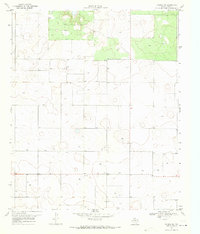
1969 · Tahoka SW
USGS Topo · 1:24,000

1969 · Double Lakes
USGS Topo · 1:24,000

1970 · New Lynn
USGS Topo · 1:24,000
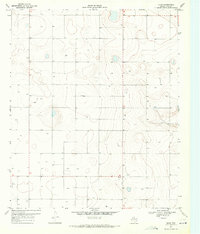
1970 · Draw
USGS Topo · 1:24,000