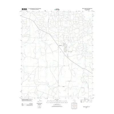
2012 Map of Skellytown
USGS Topo · Published 2012About this map
Skellytown serves as the primary hub of this high plains landscape, its grid defined by streets such as Poplar St, Santa Fe St, and Main St. Located in Carson County, the town's economic and transport connections are evidenced by the proximity of the Skellytown Airport and the convergence of Farm Road 294 and Ranch Road 1059. This survey highlights a rural environment structured around ranching and agriculture, with isolated sites like Shaefer Ranch and the settlement of Cargray further south.
Find a feature on this map
25 named features on this map. Tap any name to fly to it.
Don’t see what you’re looking for? This feature index may not catch every label — zoom into the map to look around manually.
Map Details
Editions of this 2012 Skellytown Map
This is the sole edition of this map. No revisions or reprints were ever made.
Other maps of this area

1953 · Borger SE
USGS Topo · 1:24,000

1953 · Phillips
USGS Topo · 1:24,000

1954 · Amarillo
USGS Topo · 1:250,000

1958 · Amarillo
USGS Topo · 1:250,000

1963 · Skellytown
USGS Topo · 1:24,000

1965 · White Deer
USGS Topo · 1:24,000

1965 · Lake Mc Connell
USGS Topo · 1:24,000

1966 · Cuyler
USGS Topo · 1:24,000

1966 · Kingsmill
USGS Topo · 1:24,000

1970 · Phillips
USGS Topo · 1:24,000