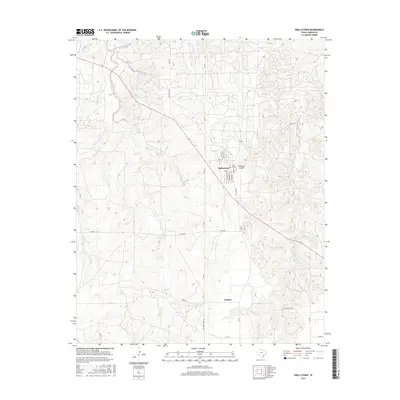
2016 Map of Skellytown
USGS Topo · Published 2016About this map
Skellytown serves as the primary hub of this High Plains landscape in Carson County, where the grid of the Panhandle meets the rolling drainage of White Deer Cr and Spring Cr. The town's residential core is defined by streets such as Roosevelt St, Lindberg St, and Chamberlain St, all positioned near the local Skellytown Airport. These namesake streets reflect the early 20th-century development of the region, which was heavily influenced by the oil industry's expansion into the Texas Panhandle.
Find a feature on this map
28 named features on this map. Tap any name to fly to it.
Don’t see what you’re looking for? This feature index may not catch every label — zoom into the map to look around manually.
Map Details
Editions of this 2016 Skellytown Map
This is the sole edition of this map. No revisions or reprints were ever made.
Other maps of this area

1953 · Borger SE
USGS Topo · 1:24,000

1953 · Phillips
USGS Topo · 1:24,000

1954 · Amarillo
USGS Topo · 1:250,000

1958 · Amarillo
USGS Topo · 1:250,000

1963 · Skellytown
USGS Topo · 1:24,000

1965 · White Deer
USGS Topo · 1:24,000

1965 · Lake Mc Connell
USGS Topo · 1:24,000

1966 · Cuyler
USGS Topo · 1:24,000

1966 · Kingsmill
USGS Topo · 1:24,000

1970 · Phillips
USGS Topo · 1:24,000