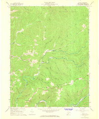
1967 Map of Skelt
USGS Topo · Published 1968About this map
Point Mountain and the high ridges of Hacker Valley define this landscape in the late 1960s, a period when remote mountain communities were linked by winding roads and Jeep Trails. The settlement of Skelt sits along the Back Fork of the Elk River, serving as a central point in a topography dominated by steep narrow hollows and numerous small runs like Panther Run and Grandaddy Run. Local life and genealogy are anchored by several small country churches, including Fairview Ch, Sand Lick Ch, and Point Mountain Ch. The presence of several Strip Mines near Grassy Creek and along the southern riverbanks reflects the area's resource-based economy. Above the valleys, landmarks such as the Lookout Tower on Potato Knob and various Radio Towers at Bernardstown highlight the importance of high-elevation sites for regional communication and fire surveillance during this era.
Find a feature on this map
64 named features on this map. Tap any name to fly to it.
Don’t see what you’re looking for? This feature index may not catch every label — zoom into the map to look around manually.
Map Details
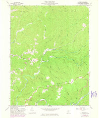
Editions of this 1967 Skelt Map
2 editions found
Other maps of this area

1891 · Huntersville
USGS Topo · 1:125,000

1893 · Buckhannon
USGS Topo · 1:125,000

1894 · Huntersville
USGS Topo · 1:125,000

1896 · Buckhannon
USGS Topo · 1:125,000

1897 · Buckhannon
USGS Topo · 1:125,000

1913 · Hacker Valley
USGS Topo · 1:48,000

1913 · Pickens
USGS Topo · 1:48,000

1915 · Webster Springs
USGS Topo · 1:48,000

1915 · Hacker Valley
USGS Topo · 1:62,500

1915 · Pickens
USGS Topo · 1:62,500