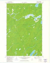
1981 Map of Skibo
USGS Topo · Published 1982About this map
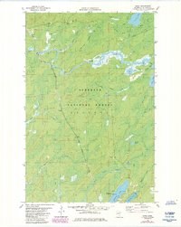
St Louis River flows through the northern reaches of this landscape, characterized by the dense timberlands of the Superior National Forest. This 1970s-era topography reveals a region defined by its waterway connectivity and the industrial influence of the Duluth Missabe and Iron Range railroad. Small settlements and industrial points like Skibo, Skibo Mill, and Clappers are situated along the rail line and riverbanks, reflecting the area's history of logging and resource transport. The southern portion of the map is dominated by the North Branch Whiteface River and recreational areas such as Cadotte Lake Campground and Bassett Lake. A complex network of winter trails and snowmobile trails crisscrosses the forest, illustrating the seasonal nature of transit and recreation in the Arrowhead region before modern development intensified.
Find a feature on this map
27 named features on this map. Tap any name to fly to it.
Don’t see what you’re looking for? This feature index may not catch every label — zoom into the map to look around manually.
Map Details
Editions of this 1981 Skibo Map
2 editions found
Other maps of this area

1949 · Allen
USGS Topo · 1:24,000

1950 · Allen
USGS Topo · 1:24,000

1951 · Babbitt SW
USGS Topo · 1:24,000

1952 · Babbitt SE
USGS Topo · 1:24,000

1954 · Two Harbors
USGS Topo · 1:250,000

1954 · Hibbing
USGS Topo · 1:250,000

1957 · Two Harbors
USGS Topo · 1:250,000

1957 · Hibbing
USGS Topo · 1:250,000

1957 · Brimson
USGS Topo · 1:62,500

1957 · Markham
USGS Topo · 1:62,500