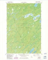
1981 Map of Skibo
USGS Topo · Published 1985About this map
St Louis River headwaters and the Duluth Missabe and Iron Range railroad define this portion of the Superior National Forest in the early 1980s. The landscape is a complex network of wetlands and small water bodies, including Stone Lake, Long Lake, and Bundle Lake, interspersed with established transit routes like the Winter Trail and Seven Beaver Snowmobile Trail. Small settlements and named locations such as Skibo, Clappers, and Reno appear alongside the rail line, marking the human footprint in this timber and iron region.
Find a feature on this map
32 named features on this map. Tap any name to fly to it.
Don’t see what you’re looking for? This feature index may not catch every label — zoom into the map to look around manually.
Map Details
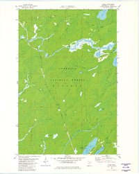
Editions of this 1981 Skibo Map
2 editions found
Other maps of this area

1949 · Allen
USGS Topo · 1:24,000

1950 · Allen
USGS Topo · 1:24,000

1951 · Babbitt SW
USGS Topo · 1:24,000

1952 · Babbitt SE
USGS Topo · 1:24,000

1954 · Two Harbors
USGS Topo · 1:250,000

1954 · Hibbing
USGS Topo · 1:250,000

1957 · Two Harbors
USGS Topo · 1:250,000

1957 · Hibbing
USGS Topo · 1:250,000

1957 · Brimson
USGS Topo · 1:62,500

1957 · Markham
USGS Topo · 1:62,500