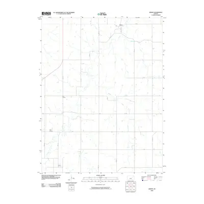
2009 Map of Skiddy
USGS Topo · Published 2009About this map
The unincorporated community of Skiddy and the surrounding agricultural landscape of Morris County are defined by a network of meandering waterways and section-line roads. This pocket of the Flint Hills region is drained by Clarks Creek, which winds southward through the center of the sheet, joined by smaller tributaries like Ralls Creek and Mulberry Creek. The rural character of the area is underscored by its small, scattered burying grounds, including Saint Johns Cemetery, Clarks Creek Cemetery, and Latimer Cemetery, which serve as vital landmarks for tracing the early families of this central Kansas prairie. The transportation layout retains a traditional grid of rural routes such as S 2600 Rd and H Ave, alongside the winding path of Old Hwy 177, illustrating the enduring physical structure of the township's farming economy.
Find a feature on this map
25 named features on this map. Tap any name to fly to it.
Don’t see what you’re looking for? This feature index may not catch every label — zoom into the map to look around manually.
Map Details
Editions of this 2009 Skiddy Map
This is the sole edition of this map. No revisions or reprints were ever made.
Other maps of this area

1889 · Parkerville
USGS Topo · 1:125,000

1894 · Parkerville
USGS Topo · 1:125,000

1955 · Hutchinson
USGS Topo · 1:250,000

1959 · Hutchinson
USGS Topo · 1:250,000

1964 · Skiddy
USGS Topo · 1:24,000
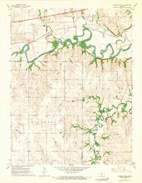
1964 · Kansas Falls
USGS Topo · 1:24,000
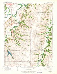
1964 · Wreford
USGS Topo · 1:24,000
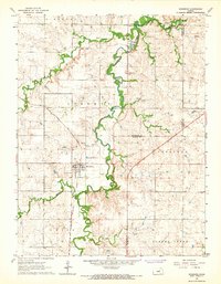
1964 · Woodbine
USGS Topo · 1:24,000
1971 · White City NW
USGS Topo · 1:24,000
1971 · White City
USGS Topo · 1:24,000