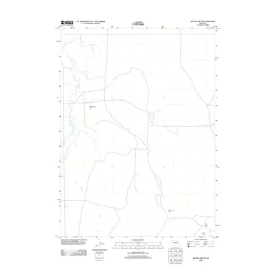
2011 Map of Skunk Lake SW
USGS Topo · Published 2011About this map
Box Butte Creek meanders through this portion of the Nebraska High Plains, defining the drainage patterns of an area dominated by large-scale ranching operations. The landscape is marked by the presence of family-held territories such as the K Messersmith Ranch and S Messersmith Ranch, which reflect the enduring legacy of cattle ranching in Box Butte County. These named properties, along with the Twin Lakes Ranch near the southeastern corner, illustrate a settlement pattern where vast agricultural holdings are the primary landmarks. Transportation in this section of the panhandle relies on a sparse grid of rural routes including Dodge Rd and Co Rd 53. In the southeast, the Twin Lakes provide a localized water source in an otherwise dry terrain, serving as a focal point for the surrounding ranch land and defining the geography of the local watershed during the early twenty-first century.
Find a feature on this map
7 named features on this map. Tap any name to fly to it.
Don’t see what you’re looking for? This feature index may not catch every label — zoom into the map to look around manually.
Map Details
Editions of this 2011 Skunk Lake SW Map
This is the sole edition of this map. No revisions or reprints were ever made.
Other maps of this area

1946 · Berea Creek East
USGS Topo · 1:24,000

1947 · Box Butte NE
USGS Topo · 1:24,000

1947 · Box Butte
USGS Topo · 1:24,000

1948 · Berea Creek East
USGS Topo · 1:24,000

1948 · Antioch
USGS Topo · 1:62,500

1949 · Box Butte NE
USGS Topo · 1:24,000

1949 · Antioch
USGS Topo · 1:62,500

1949 · Box Butte
USGS Topo · 1:24,000

1950 · Skunk Lake
USGS Topo · 1:62,500

1955 · Alliance
USGS Topo · 1:250,000