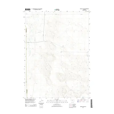
2014 Map of Skunk Lake SW
USGS Topo · Published 2014About this map
Box Butte Creek meanders through the northwest corner of this Nebraska landscape, tracing a path near the Box Butte and Sheridan County line. This 2014 survey reveals an expansive agricultural and rangeland area defined by a precise grid of local roads and trails. The topography is marked by subtle depressions and rises, with Twin Lakes appearing in the southeast as a notable hydrological feature in an otherwise dry terrain.
Find a feature on this map
15 named features on this map. Tap any name to fly to it.
Don’t see what you’re looking for? This feature index may not catch every label — zoom into the map to look around manually.
Map Details
Editions of this 2014 Skunk Lake SW Map
This is the sole edition of this map. No revisions or reprints were ever made.
Other maps of this area

1946 · Berea Creek East
USGS Topo · 1:24,000

1947 · Box Butte NE
USGS Topo · 1:24,000

1947 · Box Butte
USGS Topo · 1:24,000

1948 · Berea Creek East
USGS Topo · 1:24,000

1948 · Antioch
USGS Topo · 1:62,500

1949 · Box Butte NE
USGS Topo · 1:24,000

1949 · Antioch
USGS Topo · 1:62,500

1949 · Box Butte
USGS Topo · 1:24,000

1950 · Skunk Lake
USGS Topo · 1:62,500

1955 · Alliance
USGS Topo · 1:250,000