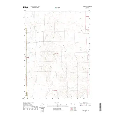
2017 Map of Skunk Lake SW
USGS Topo · Published 2017About this map
Box Butte Creek winds through the western reaches of this High Plains landscape along the border of Box Butte and Sheridan Counties. The area is defined by its agricultural layout, dominated by a grid of section lines and gravel transit routes. Access to the interior is provided by a network of numbered trails and local connectors, including 310 Trl, 295 Trl, and 480th Ln.
Find a feature on this map
18 named features on this map. Tap any name to fly to it.
Don’t see what you’re looking for? This feature index may not catch every label — zoom into the map to look around manually.
Map Details
Editions of this 2017 Skunk Lake SW Map
This is the sole edition of this map. No revisions or reprints were ever made.
Other maps of this area

1946 · Berea Creek East
USGS Topo · 1:24,000

1947 · Box Butte NE
USGS Topo · 1:24,000

1947 · Box Butte
USGS Topo · 1:24,000

1948 · Berea Creek East
USGS Topo · 1:24,000

1948 · Antioch
USGS Topo · 1:62,500

1949 · Box Butte NE
USGS Topo · 1:24,000

1949 · Antioch
USGS Topo · 1:62,500

1949 · Box Butte
USGS Topo · 1:24,000

1950 · Skunk Lake
USGS Topo · 1:62,500

1955 · Alliance
USGS Topo · 1:250,000