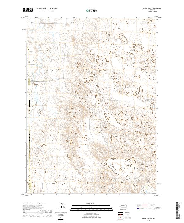
2021 Map of Skunk Lake SW
USGS Topo · Published 2021About this map
Box Butte Creek winds through this section of the Nebraska Sandhills, marking a rare drainage in a landscape dominated by undulating terrain and seasonal wetlands. The map captures the boundary between Box Butte and Sheridan counties during a period when the region's transport network relied heavily on an intricate system of numbered trails and local connectors. Remote access is defined by routes like 438th Trl and 310 Trl, which navigate the depressions between hills where water occasionally collects. The presence of State Spur 7A and Co Rd 53 on the western edge provides a glimpse into the localized infrastructure supporting the ranching and agricultural operations of the northern plains. This topographic study emphasizes the physical isolation and the section-line organization of the modern High Plains landscape.
Find a feature on this map
20 named features on this map. Tap any name to fly to it.
Don’t see what you’re looking for? This feature index may not catch every label — zoom into the map to look around manually.
Map Details
Editions of this 2021 Skunk Lake SW Map
This is the sole edition of this map. No revisions or reprints were ever made.
Other maps of this area

1946 · Berea Creek East
USGS Topo · 1:24,000

1947 · Box Butte NE
USGS Topo · 1:24,000

1947 · Box Butte
USGS Topo · 1:24,000

1948 · Berea Creek East
USGS Topo · 1:24,000

1948 · Antioch
USGS Topo · 1:62,500

1949 · Box Butte NE
USGS Topo · 1:24,000

1949 · Antioch
USGS Topo · 1:62,500

1949 · Box Butte
USGS Topo · 1:24,000

1950 · Skunk Lake
USGS Topo · 1:62,500

1955 · Alliance
USGS Topo · 1:250,000