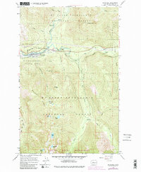
1965 Map of Skykomish
USGS Topo · Published 1982About this map
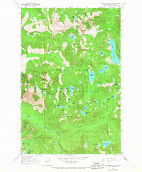
Skykomish serves as a vital mountain waypoint along the South Fork Skykomish River, dominated by the heavy-duty rail traffic of the Burlington Northern corridor. This 1965 survey, updated in the early 1980s, captures the convergence of the Tye River and Beckler River in a landscape defined by forestry and recreation within the Mt Baker-Snoqualmie National Forest. High-elevation landmarks like Sobieski Mtn and the Maloney Ridge Lookout overlook a network of backcountry basins containing Maloney Lakes, Evans Lake, and Rock Lake. The placement of the Landing Strip near the river and numerous forest camps, including the Foss River Campground, illustrates the area's dual role as a transportation bottleneck and a gateway to the high Cascades and the Alpine Lakes Wilderness.
Find a feature on this map
41 named features on this map. Tap any name to fly to it.
Don’t see what you’re looking for? This feature index may not catch every label — zoom into the map to look around manually.
Map Details
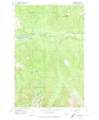
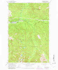
Editions of this 1965 Skykomish Map
4 editions found
Other maps of this area

1902 · Skykomish
USGS Topo · 1:125,000

1905 · Skykomish
USGS Topo · 1:125,000

1957 · Wenatchee
USGS Topo · 1:250,000

1965 · Captain Point
USGS Topo · 1:24,000

1965 · Evergreen Mtn
USGS Topo · 1:24,000

1965 · Grotto
USGS Topo · 1:24,000

1965 · Mount Daniel
USGS Topo · 1:24,000

1965 · Skykomish
USGS Topo · 1:24,000
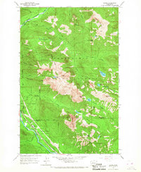
1965 · Baring
USGS Topo · 1:24,000
1965 · Snoqualmie Lake
USGS Topo · 1:24,000