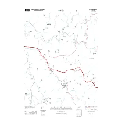
2013 Map of Slade
USGS Topo · Published 2013About this map
Slade serves as a central hub for this portion of Wolfe County, where the Bert T Combs Mtn Pkwy intersects with winding local routes and the rugged drainage of the Red River. The geography is defined by a dense concentration of natural arches and high ridges, including Courthouse Rock, Double Arch, and Whittleton Ridge. These landmarks are connected by a network of hollows such as Beasley Hollow and Amburgy Hollow, reflecting the complex sandstone topography of the region.
Find a feature on this map
121 named features on this map. Tap any name to fly to it.
Don’t see what you’re looking for? This feature index may not catch every label — zoom into the map to look around manually.
Map Details
Editions of this 2013 Slade Map
This is the sole edition of this map. No revisions or reprints were ever made.
Other maps of this area

1892 · Beattyville
USGS Topo · 1:125,000

1951 · Pomeroyton
USGS Topo · 1:24,000

1952 · Scranton
USGS Topo · 1:24,000

1952 · Frenchburg
USGS Topo · 1:24,000

1952 · Stanton
USGS Topo · 1:24,000

1952 · Means
USGS Topo · 1:24,000

1952 · Slade
USGS Topo · 1:24,000

1952 · Cobhill
USGS Topo · 1:24,000
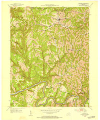
1952 · Campton
USGS Topo · 1:24,000

1953 · Zachariah
USGS Topo · 1:24,000