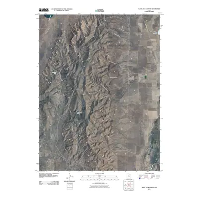
2011 Map of Slate Jack Canyon
USGS Topo · Published 2011About this map
Goshen Valley and Juab Valley are separated by the significant north-south spine of Long Ridge, a landscape defined by its network of drainages and isolated springs. The terrain is deeply incised by features like Slate Jack Canyon and the Right Fork Old Canyon, which carve through the central high ground. Along the eastern edge, the presence of the Swasey Family Cemetery near the base of the ridge offers a specific point of interest for genealogists and local historians, while Goshen Canyon Rd provides a primary transit link between the lowlands. Water is a critical element of this arid environment, represented by the Mona Reservoir in the northeast and intermittent sources such as Lunt-Lattimer Spring and Cottonwood Spring, which likely served as vital markers for early settlers and ranchers in the region.
Find a feature on this map
22 named features on this map. Tap any name to fly to it.
Don’t see what you’re looking for? This feature index may not catch every label — zoom into the map to look around manually.
Map Details
Editions of this 2011 Slate Jack Canyon Map
This is the sole edition of this map. No revisions or reprints were ever made.
Other maps of this area

1885 · Manti
USGS Topo · 1:250,000

1885 · Sevier Desert
USGS Topo · 1:250,000

1895 · Manti
USGS Topo · 1:250,000

1949 · Eureka
USGS Topo · 1:24,000

1951 · Santaquin
USGS Topo · 1:62,500

1951 · Nephi
USGS Topo · 1:62,500

1953 · Delta
USGS Topo · 1:250,000

1954 · Tintic Mountain
USGS Topo · 1:24,000
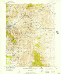
1954 · Eureka
USGS Topo · 1:24,000

1956 · Price
USGS Topo · 1:250,000