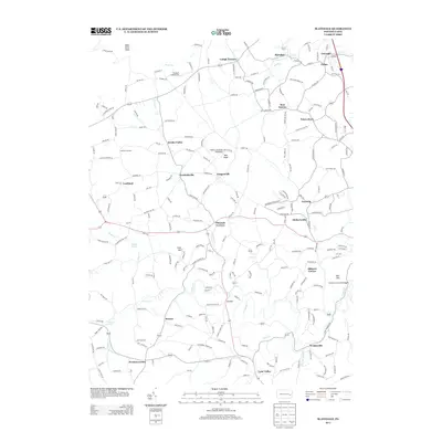
2013 Map of Slatedale
USGS Topo · Published 2013About this map
Lehigh Furnace and Slatedale anchor the northern reaches of this Lehigh County landscape, where the rural character of Weisenberg and Lowhill Townships is defined by numerous historic crossroads and named junctions. The drainage of Jordan Cr and its tributaries, including Switzer Cr, shapes the terrain below the prominent Bake Oven Knob. This area is marked by a dense network of local roads such as Molasses Barrel Rd and Bake Oven Rd, connecting long-standing small settlements like Germansville, Saegersville, and Pleasant Corners.
Find a feature on this map
212 named features on this map. Tap any name to fly to it.
Don’t see what you’re looking for? This feature index may not catch every label — zoom into the map to look around manually.
Map Details
Editions of this 2013 Slatedale Map
This is the sole edition of this map. No revisions or reprints were ever made.
Other maps of this area

1889 · Hazleton
USGS Topo · 1:62,500

1891 · Hazleton
USGS Topo · 1:62,500

1893 · Hazleton
USGS Topo · 1:62,500

1902 · Slatington
USGS Topo · 1:62,500

1909 · Hamburg
USGS Topo · 1:62,500

1911 · Hamburg
USGS Topo · 1:62,500

1922 · Mauch Chunk
USGS Topo · 1:62,500

1924 · Mauch Chunk
USGS Topo · 1:62,500

1937 · Allentown West
USGS Topo · 1:48,000

1942 · Allentown West
USGS Topo · 1:62,500
Featured Places
- Weisenberg Township, PA
- Diebertsville, Heidelberg Township
- Weidasville, Lowhill Township
- Lehigh Furnace, Washington Township
- Newside, Washington Township