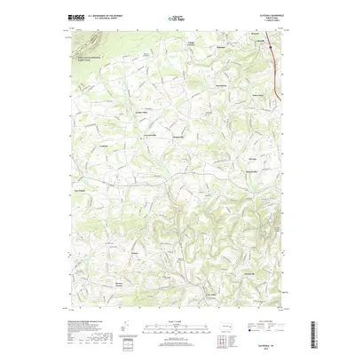
2019 Map of Slatedale
USGS Topo · Published 2019About this map
The Appalachian National Scenic Trail crests the northern ridge of this landscape, marking the boundary between Lehigh and Carbon Counties. Below this elevation, the terrain transitions into a patchwork of rural farmsteads and historic Lehigh County villages such as Slatedale, New Tripoli, and Germansville. The area's cultural heritage is anchored by several long-standing religious sites, including the Heidelberg Union Church and Saint Peters Union Church, each accompanied by their respective cemeteries. The winding course of Jordan Creek and Trout Cr dictate the local geography, providing drainage for the various valleys where settlements like Saegersville and Best Station emerged. Genealogical interest is particularly high here, with several family-named landmarks such as Peters Store, Werleys Corner, and Millers Cem distributed across the township, alongside the Schlicher Covered Bridge spanning the southern waters.
Find a feature on this map
39 named features on this map. Tap any name to fly to it.
Don’t see what you’re looking for? This feature index may not catch every label — zoom into the map to look around manually.
Map Details
Editions of this 2019 Slatedale Map
This is the sole edition of this map. No revisions or reprints were ever made.
Other maps of this area

1889 · Hazleton
USGS Topo · 1:62,500

1891 · Hazleton
USGS Topo · 1:62,500

1893 · Hazleton
USGS Topo · 1:62,500

1902 · Slatington
USGS Topo · 1:62,500

1909 · Hamburg
USGS Topo · 1:62,500

1911 · Hamburg
USGS Topo · 1:62,500

1922 · Mauch Chunk
USGS Topo · 1:62,500

1924 · Mauch Chunk
USGS Topo · 1:62,500

1937 · Allentown West
USGS Topo · 1:48,000

1942 · Allentown West
USGS Topo · 1:62,500
Featured Places
- Weisenberg Township, PA
- Diebertsville, Heidelberg Township
- Weidasville, Lowhill Township
- Lehigh Furnace, Washington Township
- Newside, Washington Township