
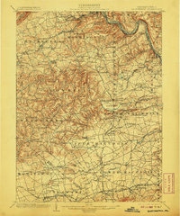
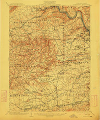
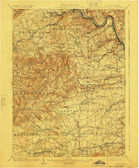
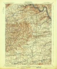
1902 Map of Slatington
USGS Topo · Published 1902About this map
Slatington serves as the industrial hub of this Lehigh County landscape at the start of the twentieth century, where the Lehigh River and the Lehigh Canal facilitate the heavy movement of goods. The region's economy is visibly tied to its geology, noted by the presence of Consolidated Quarries and several iron-related sites like Lehigh Furnace and Peters Foundry. Settlement patterns follow the winding paths of Jordan Creek and Coplay Creek, with community life centered around places like Jordan Church and small crossroads such as Unionville and Schnecksville.
Find a feature on this map
158 named features on this map. Tap any name to fly to it.
Don’t see what you’re looking for? This feature index may not catch every label — zoom into the map to look around manually.
Map Details
Editions of this 1902 Slatington Map
5 editions found
Other maps of this area

1888 · Quakertown
USGS Topo · 1:62,500

1889 · Hazleton
USGS Topo · 1:62,500

1890 · Quakertown
USGS Topo · 1:62,500

1891 · Hazleton
USGS Topo · 1:62,500

1893 · Hazleton
USGS Topo · 1:62,500

1894 · Reading
USGS Topo · 1:62,500

1894 · Allentown
USGS Topo · 1:62,500

1894 · Quakertown
USGS Topo · 1:62,500

1902 · Boyertown
USGS Topo · 1:62,500

1909 · Hamburg
USGS Topo · 1:62,500