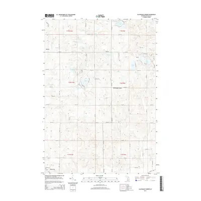
2014 Map of Slaybaugh Corner
USGS Topo · Published 2014About this map
Ashton and the northern outskirts of Reed City define the residential hubs of this central Michigan landscape in 2014. The terrain is notably defined by a dense cluster of kettle lakes and wetlands, including the sizable Todd Lake, Lincoln Lake, and the uniquely shaped Horseshoe Lake. These water bodies are connected by a network of drainage streams such as Lincoln Cr and Indian Cr, which cut through the glaciated topography of Osceola County.
Find a feature on this map
69 named features on this map. Tap any name to fly to it.
Don’t see what you’re looking for? This feature index may not catch every label — zoom into the map to look around manually.
Map Details
Editions of this 2014 Slaybaugh Corner Map
This is the sole edition of this map. No revisions or reprints were ever made.
Other maps of this area

1931 · Chase NE
USGS Topo · 1:31,680

1933 · Luther SE
USGS Topo · 1:31,680

1954 · Traverse City
USGS Topo · 1:250,000

1954 · Midland
USGS Topo · 1:250,000

1957 · Cadillac South
USGS Topo · 1:62,500

1957 · Luther
USGS Topo · 1:62,500

1958 · Traverse City
USGS Topo · 1:250,000

1958 · Midland
USGS Topo · 1:250,000

1959 · Midland
USGS Topo · 1:250,000

1959 · Evart
USGS Topo · 1:62,500