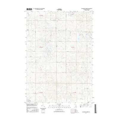
2017 Map of Slaybaugh Corner
USGS Topo · Published 2017About this map
The northern limits of Reed City meet a high plateau of glacial lakes and small headwater streams in this detailed topographical study. The landscape is defined by its numerous water bodies, including the clustered waters of Indian Lake, Horseshoe Lake, and Round Lake in the northeast, while Eggleston Lake and Mud Lake occupy the central basins. The settlement of Ashton serves as a local waypoint along the western edge, near the winding course of the E Br Hersey Cr.
Find a feature on this map
63 named features on this map. Tap any name to fly to it.
Don’t see what you’re looking for? This feature index may not catch every label — zoom into the map to look around manually.
Map Details
Editions of this 2017 Slaybaugh Corner Map
This is the sole edition of this map. No revisions or reprints were ever made.
Other maps of this area

1931 · Chase NE
USGS Topo · 1:31,680

1933 · Luther SE
USGS Topo · 1:31,680

1954 · Traverse City
USGS Topo · 1:250,000

1954 · Midland
USGS Topo · 1:250,000

1957 · Cadillac South
USGS Topo · 1:62,500

1957 · Luther
USGS Topo · 1:62,500

1958 · Traverse City
USGS Topo · 1:250,000

1958 · Midland
USGS Topo · 1:250,000

1959 · Midland
USGS Topo · 1:250,000

1959 · Evart
USGS Topo · 1:62,500