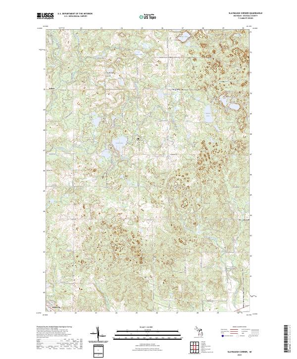
2023 Map of Slaybaugh Corner
USGS Topo · Published 2023About this map
Ashton stands along the northern reaches of this Osceola County landscape, where the glacial geography has created a dense network of kettle lakes and wetlands. The terrain is defined by water bodies such as Eggleston Lake, Robinson Lake, and the winding Twin Creek, which drain toward the south and west. This area serves as a primary headwater region, with Lincoln Creek and the East Branch Hersey Creek carving through the township lines of T19N and T18N.
Find a feature on this map
67 named features on this map. Tap any name to fly to it.
Don’t see what you’re looking for? This feature index may not catch every label — zoom into the map to look around manually.
Map Details
Editions of this 2023 Slaybaugh Corner Map
This is the sole edition of this map. No revisions or reprints were ever made.
Historical Maps of Richmond Township Through Time
14 maps found

1931 Chase NE
Osceola County, MI

1933 Luther SE
Osceola County, MI
1957 Cadillac South
Osceola County, MI
1959 Lake
Osceola County, MI
1983 Dighton
Osceola County, MI
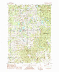
1983 Slaybaugh Corner
Osceola County, MI
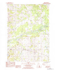
1984 Sears
Osceola County, MI
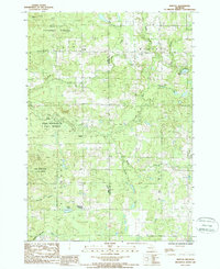
1987 Bristol
Osceola County, MI
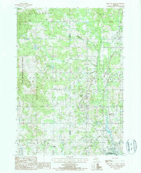
1987 Reed City North
Osceola County, MI
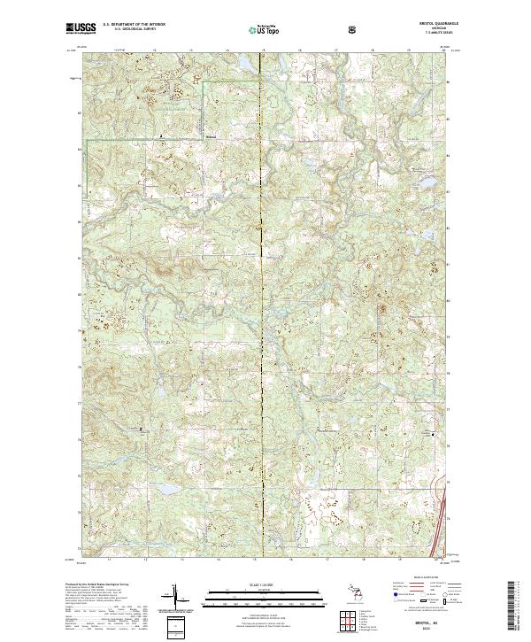
2023 Bristol
Osceola County, MI
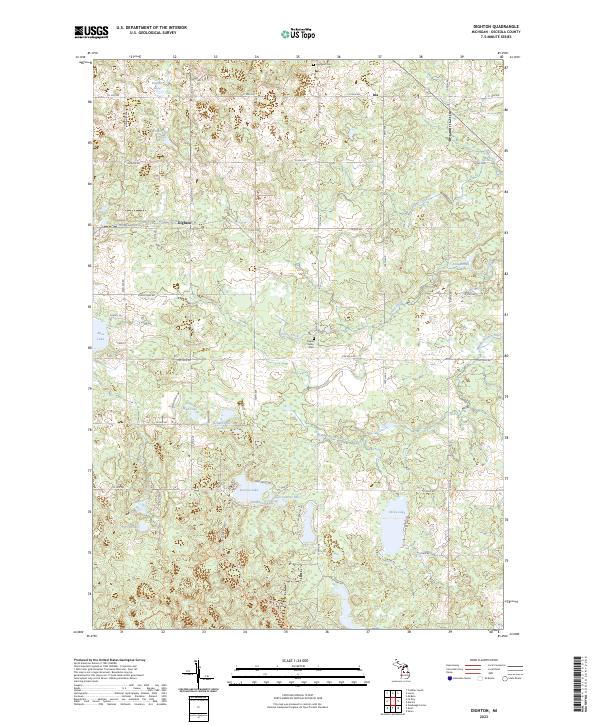
2023 Dighton
Osceola County, MI
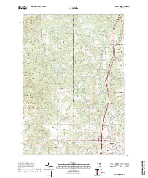
2023 Reed City North
Osceola County, MI
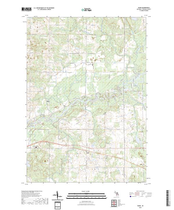
2023 Sears
Osceola County, MI
2023 Slaybaugh Corner
Osceola County, MI