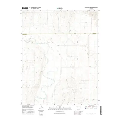
2016 Map of Sleeping Bear Creek SW
USGS Topo · Published 2016About this map
The North Canadian River meanders extensively through the western portion of this landscape, its winding channel shaping the alluvial terrain across the border of Harper Co and Woodward Co. This 2016 survey illustrates a largely rural expanse defined by section-line roads such as Ew 29 RD and NS 201 RD. Local history is centered on the Rock Church Cem, a significant landmark for genealogists researching the area's early families. To the southeast, the residential development at Quail Ridge Acres contrasts with the broader agricultural and prairie character of the surrounding plains. The map's detail provides a clear view of the modern road network, including e0300 RD and NS 202, which facilitate movement through the river valley and the uplands alike.
Find a feature on this map
31 named features on this map. Tap any name to fly to it.
Don’t see what you’re looking for? This feature index may not catch every label — zoom into the map to look around manually.
Map Details
Editions of this 2016 Sleeping Bear Creek SW Map
This is the sole edition of this map. No revisions or reprints were ever made.
Other maps of this area

1955 · Woodward
USGS Topo · 1:250,000

1958 · Woodward
USGS Topo · 1:250,000

1969 · Fargo
USGS Topo · 1:24,000

1969 · Woodward
USGS Topo · 1:24,000

1969 · Woodward NE
USGS Topo · 1:24,000

1970 · Sleeping Bear Creek SW
USGS Topo · 1:24,000

1970 · Sleeping Bear Creek NW
USGS Topo · 1:24,000

1970 · Sleeping Bear Creek SE
USGS Topo · 1:24,000

1971 · Fort Supply
USGS Topo · 1:24,000

1971 · Fort Supply NE
USGS Topo · 1:24,000