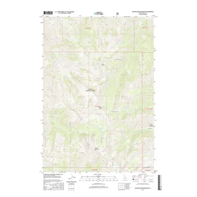
2017 Map of Sleeping Deer Mountain
USGS Topo · Published 2017About this map
Sleeping Deer Mtn dominates the high-elevation landscape of Challis National Forest, providing a detailed look at this wilderness area in the central Salmon River Mountains. The topography is defined by significant peaks such as Martin Mtn and Woodtick Summit, with the latter accessible via the Woodtick Cutoff. The drainage patterns are intricate, with headwaters for W Fk Camas Creek and Pole Cr carving through the steep terrain.
Find a feature on this map
38 named features on this map. Tap any name to fly to it.
Don’t see what you’re looking for? This feature index may not catch every label — zoom into the map to look around manually.
Map Details
Editions of this 2017 Sleeping Deer Mountain Map
This is the sole edition of this map. No revisions or reprints were ever made.
Other maps of this area

1930 · Casto
USGS Topo · 1:125,000

1957 · Challis
USGS Topo · 1:250,000

1960 · Challis
USGS Topo · 1:250,000

1962 · Bear Creek Point
USGS Topo · 1:24,000

1962 · Ramey Hill
USGS Topo · 1:24,000

1963 · Challis
USGS Topo · 1:250,000

1963 · Meyers Cove
USGS Topo · 1:24,000

1963 · Rock Creek
USGS Topo · 1:24,000
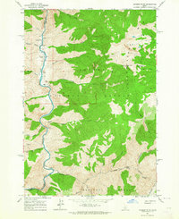
1963 · Aparejo Point
USGS Topo · 1:24,000
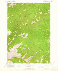
1963 · Yellowjacket
USGS Topo · 1:24,000