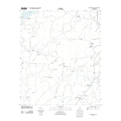
2011 Map of Sleeping Giant
USGS Topo · Published 2011About this map
Talladega Creek carves a prominent path through this landscape, defining the topography south of the Sleeping Giant formation and Hillsman Gap. The area is characterized by scattered rural settlements such as Renfroe, Hepzibah, and Mardisville, the latter featuring the Mardisville Post Office. The map reveals a dense network of local family and community history, evidenced by numerous burial grounds including Mardisville Cemetery, Thornhill Cemetery, and the Armbrester Cemetery.
Find a feature on this map
112 named features on this map. Tap any name to fly to it.
Don’t see what you’re looking for? This feature index may not catch every label — zoom into the map to look around manually.
Map Details
Editions of this 2011 Sleeping Giant Map
This is the sole edition of this map. No revisions or reprints were ever made.
Other maps of this area

1889 · Springville
USGS Topo · 1:125,000

1890 · Talladega
USGS Topo · 1:125,000

1892 · Springville
USGS Topo · 1:125,000

1892 · Talladega
USGS Topo · 1:125,000

1943 · Talladega
USGS Topo · 1:62,500

1946 · Talladega
USGS Topo · 1:62,500

1947 · Eastaboga
USGS Topo · 1:24,000

1947 · Ragland
USGS Topo · 1:62,500

1947 · Riverside
USGS Topo · 1:24,000

1951 · Laniers
USGS Topo · 1:24,000