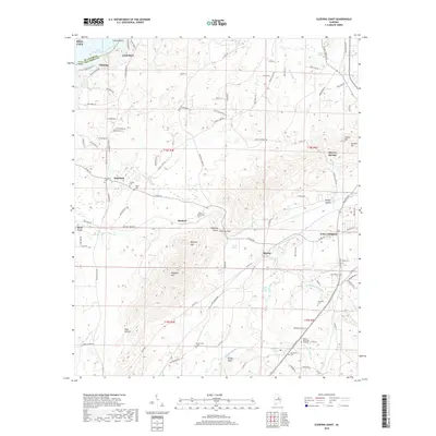
2018 Map of Sleeping Giant
USGS Topo · Published 2018About this map
Logan Martin Lake and the Coosa River define the northwestern edge of this Talladega County region, where the ridge and valley landscape transitions into the prominent heights of Renfroe Mtn and Flagpole Mtn. The terrain is marked by significant gaps and hollows, most notably Hillsman Gap and the deep Dark Hollow, which shaped the early paths and modern roads connecting local communities.
Find a feature on this map
123 named features on this map. Tap any name to fly to it.
Don’t see what you’re looking for? This feature index may not catch every label — zoom into the map to look around manually.
Map Details
Editions of this 2018 Sleeping Giant Map
This is the sole edition of this map. No revisions or reprints were ever made.
Other maps of this area

1889 · Springville
USGS Topo · 1:125,000

1890 · Talladega
USGS Topo · 1:125,000

1892 · Springville
USGS Topo · 1:125,000

1892 · Talladega
USGS Topo · 1:125,000

1943 · Talladega
USGS Topo · 1:62,500

1946 · Talladega
USGS Topo · 1:62,500

1947 · Eastaboga
USGS Topo · 1:24,000

1947 · Ragland
USGS Topo · 1:62,500

1947 · Riverside
USGS Topo · 1:24,000

1951 · Laniers
USGS Topo · 1:24,000