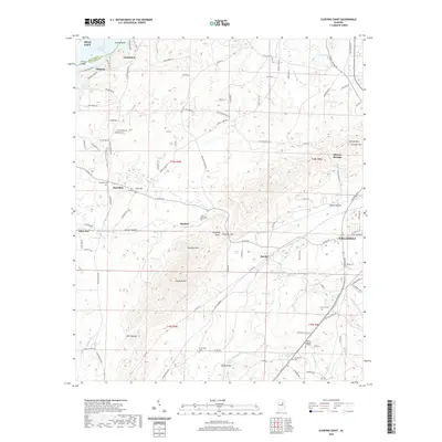
2020 Map of Sleeping Giant
USGS Topo · Published 2020About this map
Talladega Creek snakes through this landscape, providing a hydrological anchor for a series of communities and family landmarks just west of Talladega. The area is defined by its varied terrain, from the prominent ridge of Renfroe Mtn and the distinct peak of Sleeping Giant to the depression of Dark Hollow. Settlement patterns are evident in the cluster of names like Renfroe, Barclay, and Mardisville, where local heritage is preserved in numerous family and community burial grounds including Thornhill Cem and Hepzibah Cem. To the north, the waters of Logan Martin Lake and the Curry Br inlet mark the transition toward Lincoln, while the eastern edge is characterized by the slopes of Shocco Mtn and the historic grounds of Shocco Springs.
Find a feature on this map
117 named features on this map. Tap any name to fly to it.
Don’t see what you’re looking for? This feature index may not catch every label — zoom into the map to look around manually.
Map Details
Editions of this 2020 Sleeping Giant Map
This is the sole edition of this map. No revisions or reprints were ever made.
Other maps of this area

1889 · Springville
USGS Topo · 1:125,000

1890 · Talladega
USGS Topo · 1:125,000

1892 · Springville
USGS Topo · 1:125,000

1892 · Talladega
USGS Topo · 1:125,000

1943 · Talladega
USGS Topo · 1:62,500

1946 · Talladega
USGS Topo · 1:62,500

1947 · Eastaboga
USGS Topo · 1:24,000

1947 · Ragland
USGS Topo · 1:62,500

1947 · Riverside
USGS Topo · 1:24,000

1951 · Laniers
USGS Topo · 1:24,000