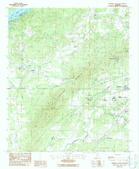
1987 Map of Sleeping Giants
USGS Topo · Published 1987About this map
The Sleeping Giants mountain range dominates the landscape of this portion of Talladega County, creating a dramatic physical boundary between the Coosa River valley and the industrial corridor to the east. By the late 1980s, the terrain shows a mix of institutional development and rural persistence, anchored by the Federal Correctional Institution and local educational sites like Talladega Academy and the County Training Sch.
Find a feature on this map
37 named features on this map. Tap any name to fly to it.
Don’t see what you’re looking for? This feature index may not catch every label — zoom into the map to look around manually.
Map Details
Editions of this 1987 Sleeping Giants Map
This is the sole edition of this map. No revisions or reprints were ever made.
Other maps of this area

1889 · Springville
USGS Topo · 1:125,000

1890 · Talladega
USGS Topo · 1:125,000

1892 · Springville
USGS Topo · 1:125,000

1892 · Talladega
USGS Topo · 1:125,000
1943 · Talladega
USGS Topo · 1:62,500
1946 · Talladega
USGS Topo · 1:62,500
1947 · Eastaboga
USGS Topo · 1:24,000
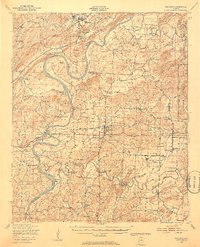
1947 · Ragland
USGS Topo · 1:62,500
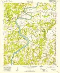
1947 · Riverside
USGS Topo · 1:24,000
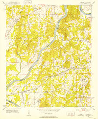
1951 · Laniers
USGS Topo · 1:24,000