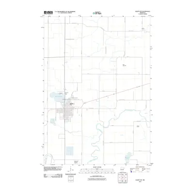
2010 Map of Sleepy Eye
USGS Topo · Published 2010About this map
Sleepy Eye serves as the focal point of this region, situated on the south shore of Sleepy Eye Lake. The town's layout is defined by its grid, with the Sleepy Eye Post Office and Saint Marys Cemetery located near the northern edge of the settlement. To the south and east, the Cottonwood River carves a winding path through the landscape, flanked by a network of drainage infrastructure including County Ditch Number Thirteen and County Ditch Number Ten.
Find a feature on this map
32 named features on this map. Tap any name to fly to it.
Don’t see what you’re looking for? This feature index may not catch every label — zoom into the map to look around manually.
Map Details
Editions of this 2010 Sleepy Eye Map
This is the sole edition of this map. No revisions or reprints were ever made.
Other maps of this area

1953 · Morgan
USGS Topo · 1:62,500

1953 · New Ulm
USGS Topo · 1:250,000

1957 · New Ulm
USGS Topo · 1:250,000

1958 · New Ulm
USGS Topo · 1:250,000

1964 · Sleepy Eye NW
USGS Topo · 1:24,000

1964 · Sleepy Eye
USGS Topo · 1:24,000

1964 · Essig
USGS Topo · 1:24,000

1964 · St George
USGS Topo · 1:24,000

1967 · New Ulm
USGS Topo · 1:250,000

1967 · Lake Hanska West
USGS Topo · 1:24,000