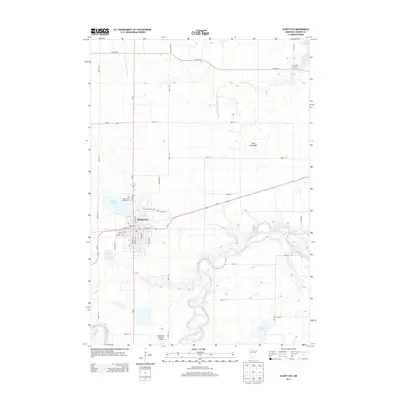
2013 Map of Sleepy Eye
USGS Topo · Published 2013About this map
Sleepy Eye serves as the focal point of this Brown County landscape, situated where the glacial plains meet the winding course of the Cottonwood River. The town's grid is bounded by Sleepy Eye Lake and the Sleepy Eye Campground to the northwest, while the Sleepy Eye Municipal Airport anchors the southern outskirts. The presence of several historic burial grounds, including Saint Marys Cem and Home Cem, suggests a deeply rooted community with well-established local lineage.
Find a feature on this map
29 named features on this map. Tap any name to fly to it.
Don’t see what you’re looking for? This feature index may not catch every label — zoom into the map to look around manually.
Map Details
Editions of this 2013 Sleepy Eye Map
This is the sole edition of this map. No revisions or reprints were ever made.
Other maps of this area

1953 · Morgan
USGS Topo · 1:62,500

1953 · New Ulm
USGS Topo · 1:250,000

1957 · New Ulm
USGS Topo · 1:250,000

1958 · New Ulm
USGS Topo · 1:250,000

1964 · Sleepy Eye NW
USGS Topo · 1:24,000

1964 · Sleepy Eye
USGS Topo · 1:24,000

1964 · Essig
USGS Topo · 1:24,000

1964 · St George
USGS Topo · 1:24,000

1967 · New Ulm
USGS Topo · 1:250,000

1967 · Lake Hanska West
USGS Topo · 1:24,000