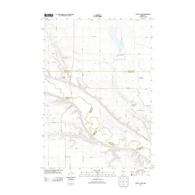
2013 Map of Sleepy Eye NW
USGS Topo · Published 2013About this map
The Minnesota River carves a deep valley across this landscape, defining the boundaries between Nicollet, Renville, and Brown Counties. The terrain transitions from the high, flat agricultural fields of the prairie into the complex ravines of the river basin, where numerous tributaries like Little Rock Cr and Spring Cr descend toward the valley floor. The placement of Mud Lake and a network of drainage systems, including Judicial Ditch Number Thirteen, illustrates the extensive water management efforts required to maintain the surrounding farmland.
Find a feature on this map
29 named features on this map. Tap any name to fly to it.
Don’t see what you’re looking for? This feature index may not catch every label — zoom into the map to look around manually.
Map Details
Editions of this 2013 Sleepy Eye NW Map
This is the sole edition of this map. No revisions or reprints were ever made.
Other maps of this area

1952 · Morton
USGS Topo · 1:62,500

1953 · Morgan
USGS Topo · 1:62,500

1953 · New Ulm
USGS Topo · 1:250,000

1957 · New Ulm
USGS Topo · 1:250,000

1958 · New Ulm
USGS Topo · 1:250,000

1964 · Fairfax
USGS Topo · 1:24,000

1964 · Sleepy Eye NW
USGS Topo · 1:24,000

1964 · Sleepy Eye
USGS Topo · 1:24,000

1964 · Essig
USGS Topo · 1:24,000

1964 · St George
USGS Topo · 1:24,000