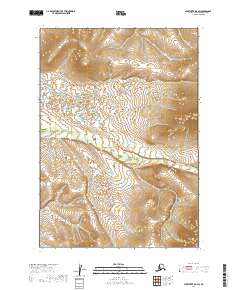
2019 Map of Sleetmute B-8 SW
USGS Topo · Published 2019About this map
The Buckstock River meanders across this interior landscape within the Bethel Census Area, serving as the primary hydrographic feature in a region defined by extensive wetlands and subtle elevation shifts. This 2019 survey documents the complex drainage patterns and tributary systems that characterize the local geography. The map provides a precise layout of the Public Land Survey System for this part of Alaska, delineating the boundaries of several townships including t15n r54w, t14n r54w, and t14n r53w. While the area is largely devoid of named settlements or man-made structures, the intricate contouring and wetland data offer essential information for understanding the hydrology and land partitions of this remote territory.
Find a feature on this map
7 named features on this map. Tap any name to fly to it.
Don’t see what you’re looking for? This feature index may not catch every label — zoom into the map to look around manually.
Map Details
Editions of this 2019 Sleetmute B-8 SW Map
This is the sole edition of this map. No revisions or reprints were ever made.
Other maps of this area

1947 · Russian Mission
USGS Topo · 1:250,000

1950 · Russian Mission
USGS Topo · 1:250,000

1950 · Sleetmute
USGS Topo · 1:250,000
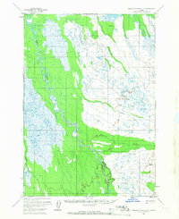
1952 · Russian Mission B-1
USGS Topo · 1:63,360

1954 · Sleetmute
USGS Topo · 1:250,000
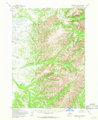
1954 · Sleetmute A-8
USGS Topo · 1:63,360
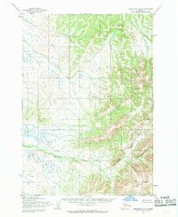
1954 · Sleetmute B-8
USGS Topo · 1:63,360
1979 · Russian Mission A-1
USGS Topo · 1:63,360

1980 · Russian Mission
USGS Topo · 1:250,000
2019 · Sleetmute B-8 SE
USGS Topo · 1:25,000