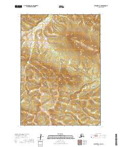
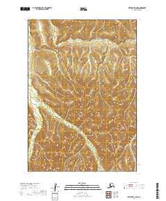
2019 Map of Sleetmute C-4 NW
USGS Topo · Published 2019About this map
Barometer Mtn dominates the central high ground of this interior Alaska wilderness, serving as a prominent landmark within the larger Kuskokwim Mountains range. The landscape is defined by its drainage systems, with the northern slopes feeding into McCally Cr and the eastern reaches bounded by Red Devil Cr. To the southwest, Fuller Cr carves through the terrain, illustrating the intricate watershed patterns characteristic of the Bethel Census Area. This 2019 survey documents a region largely untouched by formal road infrastructure, where topographic relief and watercourses dictate the movement of people and wildlife. The map provides a clear look at the township and range system, including t19n r45w and t19n r44w, which organizes this expanse of the Alaskan bush before it reaches more established riverside settlements.
Find a feature on this map
9 named features on this map. Tap any name to fly to it.
Don’t see what you’re looking for? This feature index may not catch every label — zoom into the map to look around manually.
Map Details
Editions of this 2019 Sleetmute C-4 NW Map
This is the sole edition of this map. No revisions or reprints were ever made.
Other maps of this area

1950 · Sleetmute
USGS Topo · 1:250,000

1954 · Sleetmute C-4
USGS Topo · 1:63,360

1954 · Sleetmute D-5
USGS Topo · 1:63,360

1954 · Sleetmute D-4
USGS Topo · 1:63,360

1954 · Sleetmute C-5
USGS Topo · 1:63,360

1954 · Sleetmute
USGS Topo · 1:250,000
2019 · Sleetmute D-4 SW
USGS Topo · 1:25,000
2019 · Sleetmute D-5 SE
USGS Topo · 1:25,000
2019 · Sleetmute D-4 SE
USGS Topo · 1:25,000
2019 · Sleetmute C-5 SE
USGS Topo · 1:25,000