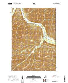
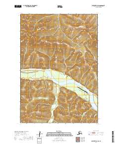
2019 Map of Sleetmute D-5 SE
USGS Topo · Published 2019About this map
The Kuskokwim River snakes through the Bethel Census Area in this 2019 survey, carving a broad valley through the southwestern Alaskan interior. This specific reach of the river is characterized by expansive wetlands and shifting sandbars, reflecting a landscape in constant flux. Small tributaries such as Bounty Cr in the northwest and Eightmile Cr in the south drain the surrounding uplands, feeding into the primary waterway. The mapping reveals the complex network of sloughs and side channels that define the river's path through the Kuskokwim Mountains, offering a precise view of the hydrography as it existed in the early twenty-first century. This era of mapping utilizes modern satellite and elevation data to track the subtle movements of the shoreline and the distribution of seasonal wetlands across the river basin.
Find a feature on this map
9 named features on this map. Tap any name to fly to it.
Don’t see what you’re looking for? This feature index may not catch every label — zoom into the map to look around manually.
Map Details
Editions of this 2019 Sleetmute D-5 SE Map
This is the sole edition of this map. No revisions or reprints were ever made.
Other maps of this area

1950 · Sleetmute
USGS Topo · 1:250,000

1954 · Sleetmute C-4
USGS Topo · 1:63,360

1954 · Sleetmute D-5
USGS Topo · 1:63,360

1954 · Sleetmute D-4
USGS Topo · 1:63,360

1954 · Sleetmute C-5
USGS Topo · 1:63,360

1954 · Sleetmute
USGS Topo · 1:250,000
2019 · Sleetmute C-4 NW
USGS Topo · 1:25,000
2019 · Sleetmute D-5 NW
USGS Topo · 1:25,000
2019 · Sleetmute D-5 SW
USGS Topo · 1:25,000
2019 · Sleetmute D-4 SW
USGS Topo · 1:25,000