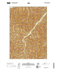
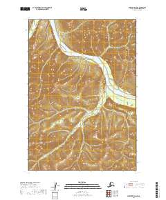
2019 Map of Sleetmute D-5 SW
USGS Topo · Published 2019About this map
The Kuskokwim Mountains dominate this high-latitude terrain within the Bethel Census Area, showcasing the intricate drainage patterns of the Alaskan interior. The landscape is defined by a series of repeating ridges and valleys, where runoff follows the seasonal paths of Downey Cr and Eightmile Cr. This 2019 survey documents a wilderness area defined by the Public Land Survey System grids, specifically crossing the intersections of Townships 19, 20, and 21 North. While the map lacks formal settlements, it provides a precise record of the upland topography and headwater streams that characterize this part of the Kuskokwim Mountains.
Find a feature on this map
9 named features on this map. Tap any name to fly to it.
Don’t see what you’re looking for? This feature index may not catch every label — zoom into the map to look around manually.
Map Details
Editions of this 2019 Sleetmute D-5 SW Map
This is the sole edition of this map. No revisions or reprints were ever made.
Other maps of this area

1950 · Sleetmute
USGS Topo · 1:250,000

1954 · Sleetmute D-5
USGS Topo · 1:63,360

1954 · Sleetmute D-6
USGS Topo · 1:63,360

1954 · Sleetmute C-6
USGS Topo · 1:63,360

1954 · Sleetmute C-5
USGS Topo · 1:63,360

1954 · Sleetmute
USGS Topo · 1:250,000
2019 · Sleetmute D-5 NW
USGS Topo · 1:25,000
2019 · Sleetmute D-5 NE
USGS Topo · 1:25,000
2019 · Sleetmute D-6 SE
USGS Topo · 1:25,000
2019 · Sleetmute D-5 SE
USGS Topo · 1:25,000