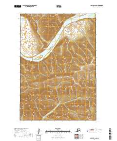
2019 Map of Sleetmute D-6 SE
USGS Topo · Published 2019About this map
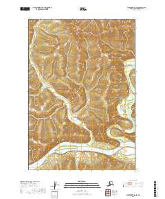
The Kuskokwim River carves a dominant path through this landscape, marking a vital corridor within the Kuskokwim Mountains. In this interior region of Alaska, the water creates a natural geography that dictates the shape of the land, visible where Central Cr feeds into the main river channel from the north. The terrain rising from the riverbanks is defined by steep elevation changes, emphasizing the isolation and primary importance of the river as a navigable artery for the sparse settlements of the Bethel Census Area. The lack of road infrastructure underscores a reliance on these waterways for transport and seasonal movement. This survey illustrates the intricate relationship between the mountainous topography and the hydraulic systems that define the region's physical character.
Find a feature on this map
9 named features on this map. Tap any name to fly to it.
Don’t see what you’re looking for? This feature index may not catch every label — zoom into the map to look around manually.
Map Details
Editions of this 2019 Sleetmute D-6 SE Map
This is the sole edition of this map. No revisions or reprints were ever made.
Other maps of this area

1950 · Sleetmute
USGS Topo · 1:250,000

1954 · Sleetmute D-5
USGS Topo · 1:63,360

1954 · Sleetmute D-6
USGS Topo · 1:63,360

1954 · Sleetmute C-6
USGS Topo · 1:63,360

1954 · Sleetmute C-5
USGS Topo · 1:63,360

1954 · Sleetmute
USGS Topo · 1:250,000
2019 · Sleetmute D-6 SW
USGS Topo · 1:25,000
2019 · Sleetmute D-6 NW
USGS Topo · 1:25,000
2019 · Sleetmute C-6 NW
USGS Topo · 1:25,000
2019 · Sleetmute D-5 NW
USGS Topo · 1:25,000