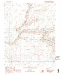
1989 Map of Slickhorn Canyon West
USGS Topo · Published 1989About this map
The San Juan River carves a deep, winding path through this desert landscape, its waters flowing westward into the backwaters of Lake Powell. This 1989 provisional map documents the remote convergence of several significant administrative and natural boundaries, including the Glen Canyon National Recreation Area and the Navajo Indian Reservation. The terrain is defined by dramatic elevation changes between high mesas like Polly Mesa and deep incisions such as Grand Gulch and Slickhorn Canyon.
Find a feature on this map
21 named features on this map. Tap any name to fly to it.
Don’t see what you’re looking for? This feature index may not catch every label — zoom into the map to look around manually.
Map Details
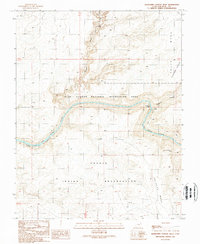
Editions of this 1989 Slickhorn Canyon West Map
2 editions found
Other maps of this area

1886 · Henry Mountains
USGS Topo · 1:250,000

1892 · Henry Mountains
USGS Topo · 1:250,000

1952 · Oljeto
USGS Topo · 1:62,500
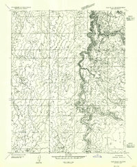
1954 · Clay Hills 3 NE
USGS Topo · 1:24,000

1954 · Clay Hills 2 NE
USGS Topo · 1:24,000

1954 · Clay Hills 2 SE
USGS Topo · 1:24,000

1954 · Clay Hills 1 NW
USGS Topo · 1:24,000
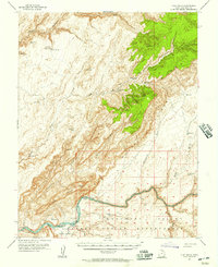
1954 · Clay Hills
USGS Topo · 1:62,500

1956 · Escalante
USGS Topo · 1:250,000

1960 · Escalante
USGS Topo · 1:250,000