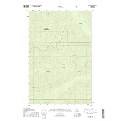
2020 Map of Slide Peak
USGS Topo · Published 2020About this map
The Olympic National Park and Olympic National Forest boundary bisects this high-elevation wilderness, where the headwaters of several major Olympic Peninsula river systems emerge. The Bogachiel River and its North Fork dominate the central drainage, while the northern reaches of the sheet contain the upper Sol Duc River and South Fork Sol Duc River. These waterways are fed by numerous high-country tributaries including Alckee Creek and Hyak Creek.
Find a feature on this map
44 named features on this map. Tap any name to fly to it.
Don’t see what you’re looking for? This feature index may not catch every label — zoom into the map to look around manually.
Map Details
Editions of this 2020 Slide Peak Map
This is the sole edition of this map. No revisions or reprints were ever made.
Other maps of this area

1918 · Lake Crescent
USGS Topo · 1:62,500

1922 · Pysht
USGS Topo · 1:62,500

1922 · Lake Crescent
USGS Topo · 1:62,500

1939 · Mount Tom
USGS Topo · 1:62,500

1942 · Pysht
USGS Topo · 1:62,500

1943 · Spruce Mountain
USGS Topo · 1:62,500

1943 · Copalis Beach
USGS Topo · 1:250,000

1950 · Mount Muller
USGS Topo · 1:24,000

1950 · Lake Crescent
USGS Topo · 1:24,000

1950 · Slide Peak
USGS Topo · 1:24,000