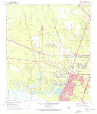
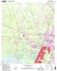
1971 Map of Slidell
USGS Topo · Published 1972About this map
Camp Villerre anchors the center of this 1971 survey, reflecting the military presence just north of Slidell. The landscape is defined by the transition from the piney woods of St. Tammany Parish down toward the marshes of Lake Pontchartrain, with Bayou Bonfouca and Bayou Liberty snaking through the terrain. The map records a period of transition as Interstate construction cuts through the area, yet older settlements like Alton, St Joe, and Amos remain distinct along the Southern and Gulf Mobile and Ohio rail lines. Genealogists will find a wealth of local history in the numerous burial grounds, including Greenwood Cem, Little Zion Cem, and the Forest Lawn Cem Mausoleum, alongside community landmarks like St Margaret Mary Sch and the Drive-in Theater.
Find a feature on this map
52 named features on this map. Tap any name to fly to it.
Don’t see what you’re looking for? This feature index may not catch every label — zoom into the map to look around manually.
Map Details
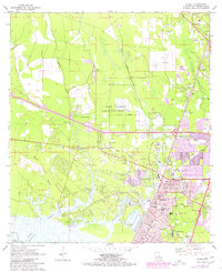
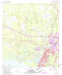
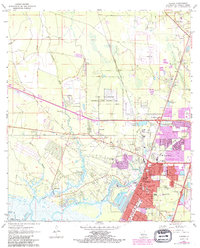
Editions of this 1971 Slidell Map
5 editions found
Other maps of this area

1892 · Chef Menteur
USGS Topo · 1:62,500

1893 · Rigolets
USGS Topo · 1:62,500

1914 · Nicholson
USGS Topo · 1:62,500

1921 · Nicholson
USGS Topo · 1:62,500

1935 · Slidell
USGS Topo · 1:62,500

1936 · North Shore
USGS Topo · 1:31,680

1936 · South Point
USGS Topo · 1:31,680

1936 · Chef Menteur
USGS Topo · 1:62,500

1936 · Rigolets
USGS Topo · 1:62,500

1939 · Slidell
USGS Topo · 1:62,500