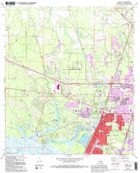
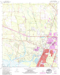
1971 Map of Slidell
USGS Topo · Published 1994About this map
Slidell expanded significantly in the early 1970s, as shown by the extensive purple-tinted updates that reflect residential and commercial growth around the traditional city core. The landscape is defined by the winding paths of Bayou Bonfouca, Liberty Bayou, and Paquet Bayou, which provide a natural drainage network for the surrounding coastal plains. In the central portion of the sheet, Camp Villere occupies a large tract of land, while the nearby Slidell Airport indicates the region's developing infrastructure.
Find a feature on this map
53 named features on this map. Tap any name to fly to it.
Don’t see what you’re looking for? This feature index may not catch every label — zoom into the map to look around manually.
Map Details
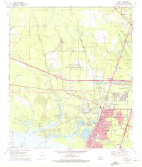
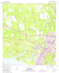
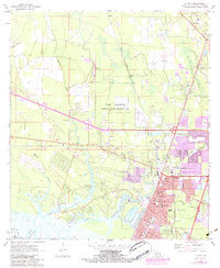
Editions of this 1971 Slidell Map
5 editions found
Other maps of this area

1892 · Chef Menteur
USGS Topo · 1:62,500

1893 · Rigolets
USGS Topo · 1:62,500

1914 · Nicholson
USGS Topo · 1:62,500

1921 · Nicholson
USGS Topo · 1:62,500

1935 · Slidell
USGS Topo · 1:62,500

1936 · North Shore
USGS Topo · 1:31,680

1936 · South Point
USGS Topo · 1:31,680

1936 · Chef Menteur
USGS Topo · 1:62,500

1936 · Rigolets
USGS Topo · 1:62,500

1939 · Slidell
USGS Topo · 1:62,500