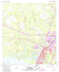
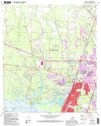
1971 Map of Slidell
USGS Topo · Published 1984About this map
Camp Villerre (National Guard Training Area) dominates the central landscape of this St. Tammany Parish survey, reflecting the military and civil infrastructure that defined the area in the late 1960s and early 1970s. The city of Slidell is shown in significant detail, featuring its civic core with the City Hall, Library, and Memorial Hospital. The settlement pattern follows the intricate waterways of Bayou Bonfouca and Bayou Liberty, which drain toward Lake Pontchartrain at the southern edge of the map.
Find a feature on this map
58 named features on this map. Tap any name to fly to it.
Don’t see what you’re looking for? This feature index may not catch every label — zoom into the map to look around manually.
Map Details
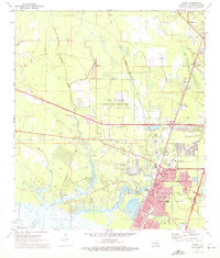
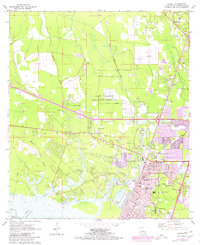
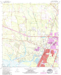
Editions of this 1971 Slidell Map
5 editions found
Other maps of this area

1892 · Chef Menteur
USGS Topo · 1:62,500

1893 · Rigolets
USGS Topo · 1:62,500

1914 · Nicholson
USGS Topo · 1:62,500

1921 · Nicholson
USGS Topo · 1:62,500

1935 · Slidell
USGS Topo · 1:62,500

1936 · North Shore
USGS Topo · 1:31,680

1936 · South Point
USGS Topo · 1:31,680

1936 · Chef Menteur
USGS Topo · 1:62,500

1936 · Rigolets
USGS Topo · 1:62,500

1939 · Slidell
USGS Topo · 1:62,500