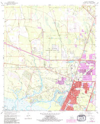
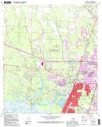
1971 Map of Slidell
USGS Topo · Published 1991About this map
Slidell and its surrounding wetlands are defined by the convergence of heavy rail and winding waterways near the edge of Lake Pontchartrain. The landscape reveals a post-war expansion of residential areas around the intersection of the Gulf Mobile and Ohio and Southern Railway. To the north, the Camp Villere (National Guard Training Area) occupies a significant tract of land, while the southern reaches are dominated by the intricate hydrology of Bayou Bonfouca and Bayou Liberty. Numerous family and community burial grounds, such as Dubuisson Cem, Morgan Cem, and Oddfellow Cem, are scattered throughout the low-lying terrain, offering vital touchpoints for genealogical research. The presence of Camp Salmen and the Slidell Airport further illustrates the varied land use of this coastal Louisiana parish as it transitioned toward modern suburbanization while maintaining its ties to the water.
Find a feature on this map
57 named features on this map. Tap any name to fly to it.
Don’t see what you’re looking for? This feature index may not catch every label — zoom into the map to look around manually.
Map Details
Editions of this 1971 Slidell Map
5 editions found
Other maps of this area

1892 · Chef Menteur
USGS Topo · 1:62,500

1893 · Rigolets
USGS Topo · 1:62,500

1914 · Nicholson
USGS Topo · 1:62,500

1921 · Nicholson
USGS Topo · 1:62,500

1935 · Slidell
USGS Topo · 1:62,500

1936 · North Shore
USGS Topo · 1:31,680

1936 · South Point
USGS Topo · 1:31,680

1936 · Chef Menteur
USGS Topo · 1:62,500

1936 · Rigolets
USGS Topo · 1:62,500

1939 · Slidell
USGS Topo · 1:62,500