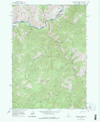
1963 Map of Sliderock Ridge
USGS Topo · Published 1975About this map
Sunflower Hot Springs and the Little Creek Guard Station mark the western edge of this remote wilderness terrain where the Boise National Forest meets the Challis National Forest. The geography is defined by the deep canyons of the Salmon River and its Middle Fork, which converge near a landscape of high ridges and isolated aviation markers like the Mahoney Creek Airstrip. Local landmarks such as Jackass Flat and Sliderock Ridge dominate the center of the sheet, illustrating a mid-century backcountry managed for fire protection and resource oversight. A complex network of drainage systems including Little Loon Creek, Dee Creek, and Sheep Creek flows through the steep territory, while the Slide Rock Lookout provides a high-altitude vantage point over the forest interior.
Find a feature on this map
32 named features on this map. Tap any name to fly to it.
Don’t see what you’re looking for? This feature index may not catch every label — zoom into the map to look around manually.
Map Details
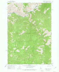
Editions of this 1963 Sliderock Ridge Map
3 editions found
Other maps of this area

1930 · Casto
USGS Topo · 1:125,000

1957 · Challis
USGS Topo · 1:250,000

1960 · Challis
USGS Topo · 1:250,000

1961 · Greyhound Ridge
USGS Topo · 1:62,500

1962 · Norton Ridge
USGS Topo · 1:24,000

1962 · Ramey Hill
USGS Topo · 1:24,000

1963 · Challis
USGS Topo · 1:250,000

1963 · Pinyon Peak
USGS Topo · 1:24,000

1963 · Casto
USGS Topo · 1:24,000
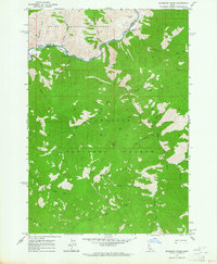
1963 · Sliderock Ridge
USGS Topo · 1:24,000