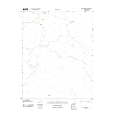
2012 Map of Slidy Mountain
USGS Topo · Published 2012About this map
Slidy Mountain and the high points of Applewhite Summit and Denton Summit anchor this high-desert terrain in Lincoln County. The landscape is defined by an intricate network of drainages and seasonal washes, including the evocatively named Monkey Wrench Wash to the north and the deep course of Rock Springs Canyon. Water remains the primary narrative of the area, evidenced by a high density of named springs that suggests a history of localized water management or ranching. A peculiar series of sequentially numbered water sources, Tunnel Number One Spring, Tunnel Number Two Spring, and Tunnel Number Three Spring, appear along the western slopes, hinting at specific engineering or mining-related developments in the region's past. From the broader expanse of Indian Basin to the restrictive walls of Narrow Canyon, this 2012 survey details the essential topography of a remote Nevada wilderness.
Find a feature on this map
31 named features on this map. Tap any name to fly to it.
Don’t see what you’re looking for? This feature index may not catch every label — zoom into the map to look around manually.
Map Details
Editions of this 2012 Slidy Mountain Map
This is the sole edition of this map. No revisions or reprints were ever made.
Other maps of this area

1885 · Pioche
USGS Topo · 1:250,000

1886 · Pioche
USGS Topo · 1:250,000

1954 · Caliente
USGS Topo · 1:250,000

1959 · Caliente
USGS Topo · 1:250,000

1969 · Delamar
USGS Topo · 1:24,000

1969 · Gregerson Basin
USGS Topo · 1:24,000

1969 · Elgin
USGS Topo · 1:24,000

1969 · Elgin NE
USGS Topo · 1:24,000

1969 · Slidy Mountain
USGS Topo · 1:24,000

1969 · Elgin SW
USGS Topo · 1:24,000