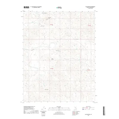
2018 Map of Slidy Mountain
USGS Topo · Published 2018About this map
Applewhite Summit and Slidy Mtn command the northern skyline of this arid stretch within the Delamar Mountains. The topography is defined by a series of steep drainages, including N Fork Cedar Wash and the deeply incised Narrow Canyon, which illustrate the erosion patterns characteristic of this part of Lincoln County. For the historian or researcher, the distribution of water sources is the most striking feature of this survey. A network of isolated water points, such as Tunnel Spring, Mona Spring, and Blyth Spring, reveals the sparse but vital locations that once sustained livestock and travel through this high-elevation terrain. From the high points of Denton Summit to the broad expanse of Indian Basin, the map documents a landscape where survival and movement were dictates of geology and seasonal hydrology.
Find a feature on this map
25 named features on this map. Tap any name to fly to it.
Don’t see what you’re looking for? This feature index may not catch every label — zoom into the map to look around manually.
Map Details
Editions of this 2018 Slidy Mountain Map
This is the sole edition of this map. No revisions or reprints were ever made.
Other maps of this area

1885 · Pioche
USGS Topo · 1:250,000

1886 · Pioche
USGS Topo · 1:250,000

1954 · Caliente
USGS Topo · 1:250,000

1959 · Caliente
USGS Topo · 1:250,000

1969 · Delamar
USGS Topo · 1:24,000

1969 · Gregerson Basin
USGS Topo · 1:24,000

1969 · Elgin
USGS Topo · 1:24,000

1969 · Elgin NE
USGS Topo · 1:24,000

1969 · Slidy Mountain
USGS Topo · 1:24,000

1969 · Elgin SW
USGS Topo · 1:24,000