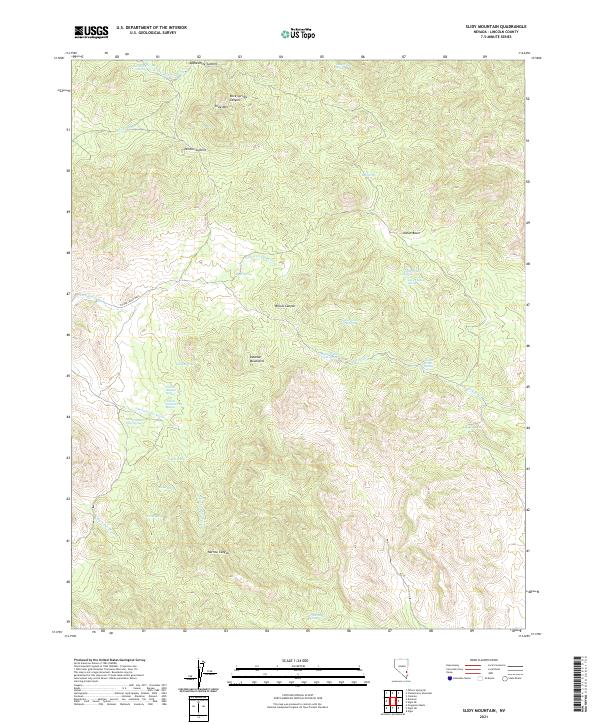
2021 Map of Slidy Mountain
USGS Topo · Published 2021About this map
Slidy Mtn and the high desert terrain of the Delamar Mountains define this corner of Lincoln County, Nevada. The landscape is characterized by a complex network of dry washes and canyons, including the descriptively named Monkey Wrench Wash, Narrow Canyon, and Willow Canyon. This arid environment necessitated the identification of numerous water sources, such as Abandoned Spring and Mona Spring. A series of vertically arranged water features — Tunnel Number One Spring, Tunnel Number Two Spring, and Tunnel Number Three Spring — suggests localized resource management or geologic seeps along the western slopes. Surveyed summits like Applewhite Summit and Denton Summit provide anchor points across the high-elevation basin and range topography.
Find a feature on this map
37 named features on this map. Tap any name to fly to it.
Don’t see what you’re looking for? This feature index may not catch every label — zoom into the map to look around manually.
Map Details
Editions of this 2021 Slidy Mountain Map
This is the sole edition of this map. No revisions or reprints were ever made.
Other maps of this area

1885 · Pioche
USGS Topo · 1:250,000

1886 · Pioche
USGS Topo · 1:250,000

1954 · Caliente
USGS Topo · 1:250,000

1959 · Caliente
USGS Topo · 1:250,000

1969 · Delamar
USGS Topo · 1:24,000

1969 · Gregerson Basin
USGS Topo · 1:24,000

1969 · Elgin
USGS Topo · 1:24,000

1969 · Elgin NE
USGS Topo · 1:24,000

1969 · Slidy Mountain
USGS Topo · 1:24,000

1969 · Elgin SW
USGS Topo · 1:24,000